
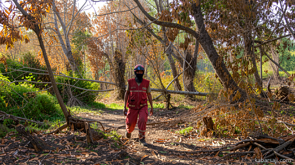
Cloud Seeding Campaigns Persist as Kalimantan’s Peatland Fire Crisis Deepens
Kabarsaji.com – Across the vast peat swamps of West and Central Kalimantan, government aircraft continue dropping sodium chloride into targeted cloud formations in an effort to coax rainfall from an atmosphere thickened by smoke and heat. The Ministry of Environment/Environmental Control Agency confirmed on Saturday, September 5, 2026, that its Weather Modification Operation (OMC) remains active in both provinces, with the latest sorties producing measurable precipitation in several fire-affected districts.
The intervention is part of a broader, multi-agency strategy aimed at breaking the cycle of ignition, spread, and reignition that has plagued Indonesian peatlands for decades. By introducing hygroscopic seeding agents into suitable clouds, the operation seeks to boost localized rainfall, cool active fire fronts, and raise soil moisture levels enough to give ground crews a fighting chance at containment.
Operational Scope and Seeding Totals
In West Kalimantan, the campaign ran from August 28 through September 4, 2026. Over that span, crews completed ten flight sorties, deploying a cumulative 8,000 kilograms of sodium chloride (NaCl) as the seeding compound. The Central Kalimantan operation began slightly earlier, on August 26, and was scheduled to extend through September 5. By the close of September 4, nine sorties had been flown there, dispersing 7,200 kilograms of NaCl into the atmosphere.
The choice of sodium chloride as the seeding material is standard practice in Indonesian cloud-seeding programs. The salt crystals act as condensation nuclei, encouraging water droplets within clouds to coalesce into droplets large enough to fall as rain. In the hot, dry conditions typical of the dry-season fire period, even modest rainfall can shift the moisture balance in shallow peat layers that are otherwise primed to burn.
Official Framing: A Layered Defense, Not a Silver Bullet
Dasrul Chaniago, Director of Land Fire Control at the Ministry of Environment/Environmental Control Agency, issued a written statement from Banjarbaru, South Kalimantan, on Saturday, September 5, 2026, outlining the rationale behind the continued flights.
“This operation is a coordinated step by the government to increase land moistening, especially in peat ecosystems, to support ground extinguishing, and to suppress the risk of fire spread and smoke dispersion.”
Chaniago stressed that aerial seeding alone cannot resolve the crisis. He framed it as one element within a wider operational architecture.
“Its implementation must be carried out in conjunction with patrols, hotspot inspections, ground extinguishing, peat moistening, water management, community involvement, business entity supervision, and law enforcement.”
Each seeding sortie, he explained, is preceded by an analysis of prevailing atmospheric conditions, the likelihood of cloud development, wind vectors, the spatial distribution of active hotspots, and the specific moistening needs of fire-prone zones. The goal is to ensure that any induced rainfall lands where it will do the most good rather than dissipating harmlessly over already-wet terrain.
Observed Rainfall and Its Expected Effect
The September 4 sorties produced detectable precipitation in multiple target areas. In West Kalimantan, rain fell over Putussibau, Kubu Raya Regency, and Pontianak City. In Central Kalimantan, observers recorded rainfall in Kotawaringin Barat Regency.
“The rainfall is expected to increase land humidity, support the cooling process of fire locations, and dampen the potential for the fire to reignite,”
Chaniago noted. For peatland fires specifically, the distinction between a smoldering ember and a fully extinguished site often hinges on whether the water table and upper peat layers retain sufficient moisture over the following days. A brief shower can buy crews critical time, but sustained dryness will undo the gain within hours.
Follow-Up Commitments and Institutional Backing
The West Kalimantan phase of the OMC will extend through September 14, 2026, with logistical and operational support from the National Disaster Management Agency (BNPB). In Central Kalimantan, the Ministry of Forestry has committed to sustaining the campaign beyond the initial window. Chaniago cautioned that vigilance must not waver as the dry season progresses.
“Our main goal is to prevent the spread of fires, protect public health, maintain air quality, and ensure that forest and land fire handling takes place quickly, comprehensively, and sustainably.”
Satellite Data: A Steepening Curve
The urgency of the intervention is underscored by monitoring data from the Nusantara Atlas satellite analytic platform. As of Saturday, September 5, 2026, both the count of active hotspots and the cumulative burned area have continued to climb, with the trend line showing a near-vertical escalation since July.
West Kalimantan currently tops the list with approximately 104,000 recorded hotspots and an estimated 26,000 hectares of burned land—an area roughly comparable to the combined footprint of South Jakarta and West Jakarta. Central Kalimantan follows with around 79,000 hotspots and 1,500 hectares of confirmed burn. The disparity in burned-area figures between the two provinces reflects differences in peat depth, drainage infrastructure, and the density of active ignition sources, including agricultural clearing and industrial operations.
For residents of Pontianak, Palangka Raya, and surrounding towns, the practical implications are immediate: reduced visibility, elevated particulate matter levels, and heightened respiratory risk, particularly for children, the elderly, and those with pre-existing lung conditions. Schools and hospitals in affected regencies have periodically issued advisories during peak smoke episodes, and cross-border haze has repeatedly strained diplomatic relations with neighboring Malaysia and Singapore.
The continued operation of seeding aircraft, paired with intensified ground patrols and community-based early-warning networks, represents the government’s attempt to compress the window between ignition and containment. Whether that compressed window is sufficient to arrest the trajectory shown by the satellite data remains the central question of the coming weeks.
Related Reading
Frequently Asked Questions
What is Weather Modification Operations Continue Across West?
Weather Modification Operations Continue Across West is the main topic of this guide. The article explains the context, practical details, and next steps readers should understand.
Why does Weather Modification Operations Continue Across West matter?
Weather Modification Operations Continue Across West matters because readers are looking for a useful answer, not just a short summary. Good content should match search intent and help them decide what to do next.